An open photographic archive
Ceylon, as the first cameras saw it
1,598 early photographs of Sri Lanka: Victorian harbours, hill-country railways, ancient cities in the jungle and the people who lived among them.
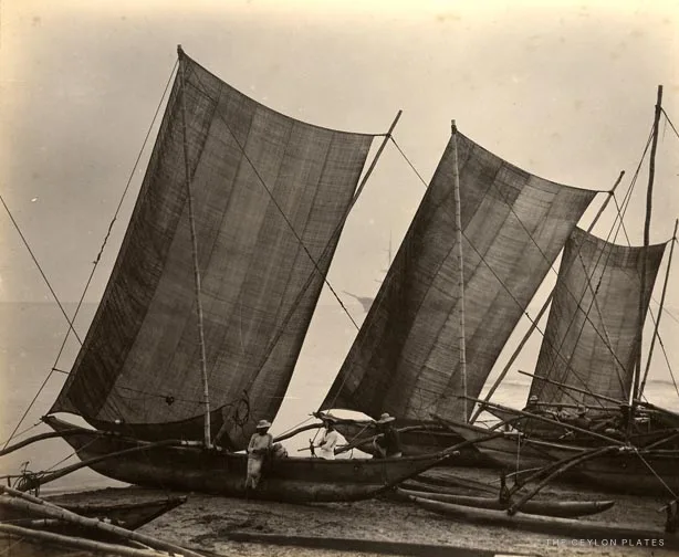
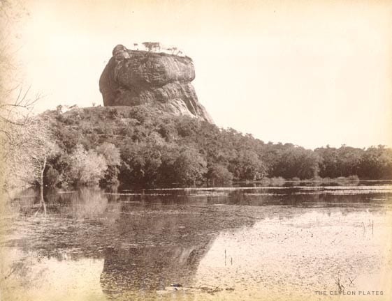
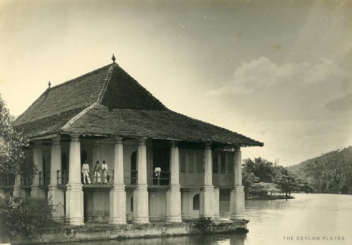
The collection
Seven rooms to wander
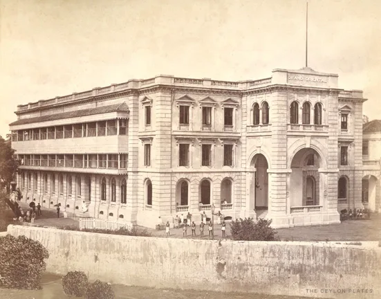
The map
Walk the island through its photographs
Choose a place to see what the early photographers found there.
Colombo
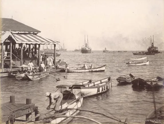
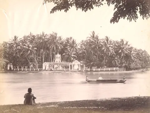
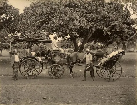
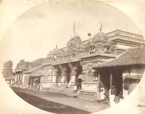
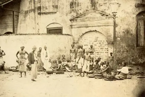
The island’s port and commercial capital: the Fort, the crowded Pettah bazaar, Galle Face and the great harbour.
Kandy
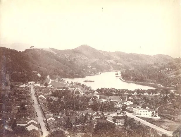
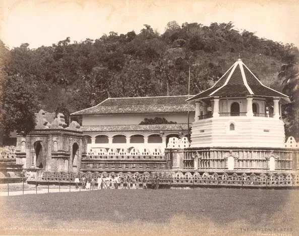
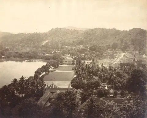
The last royal capital, set around its lake and the Temple of the Tooth in the central hills.
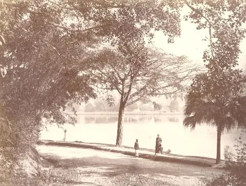
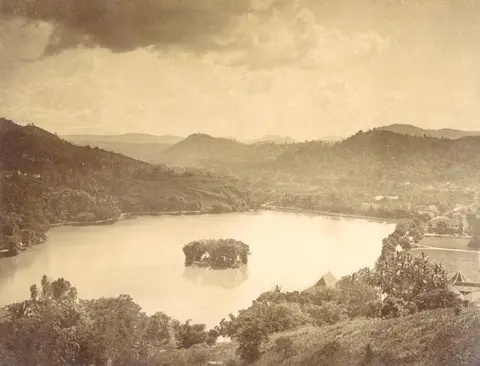
Nuwara Eliya
The cool hill station at the heart of tea country, with Hakgala’s gardens close by.
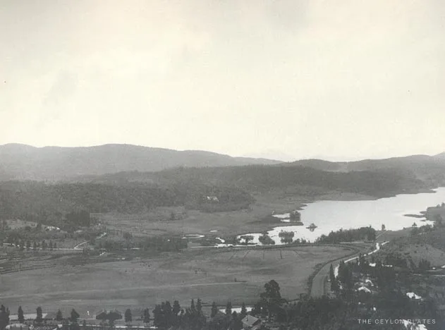
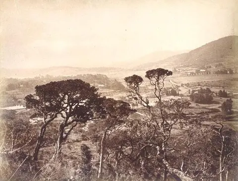
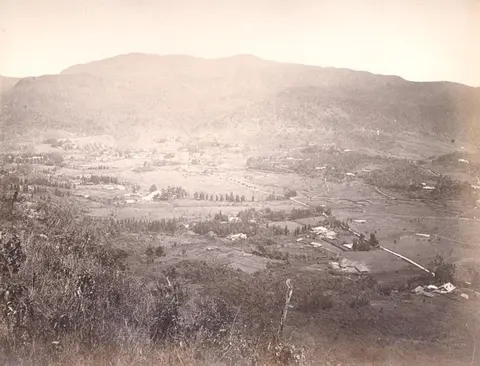
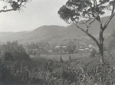
Adam’s Peak
The sacred conical mountain, Sri Pada, a place of pilgrimage for several faiths.
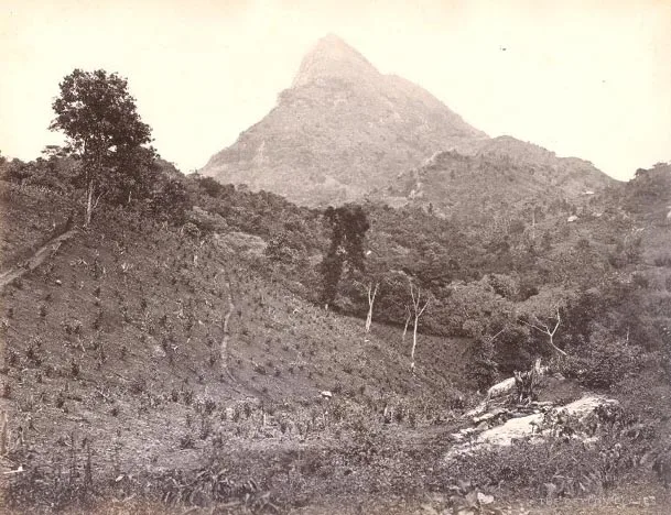
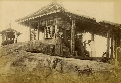
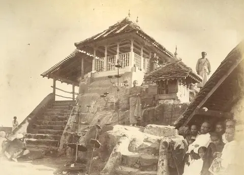
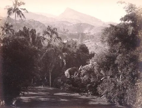
Anuradhapura
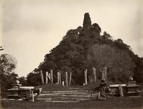
The first great Sinhalese capital, with its immense dagobas, the sacred Bo tree and forests of stone pillars.
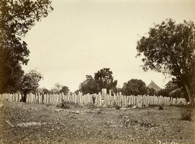
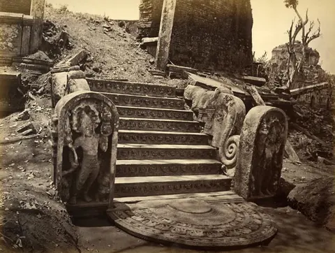
Polonnaruwa
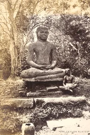
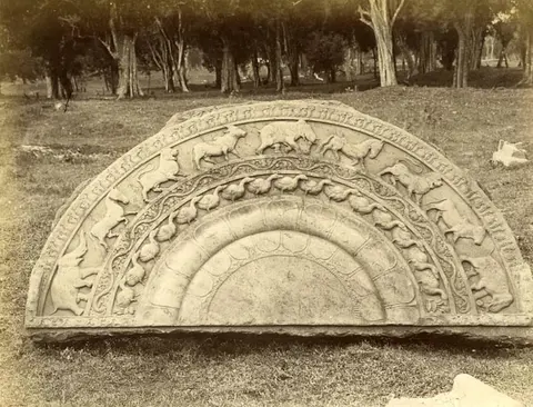
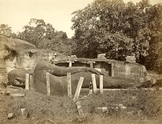
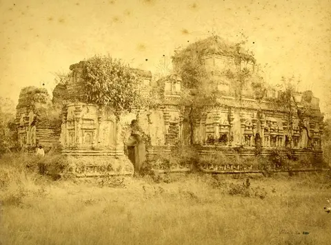
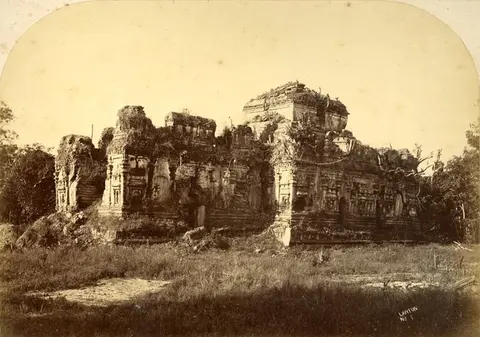
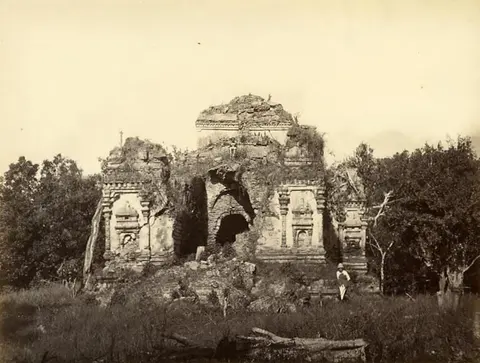
The medieval capital, known for the rock-cut Buddhas of Gal Vihara and its great brick shrines.
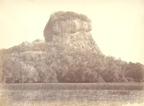
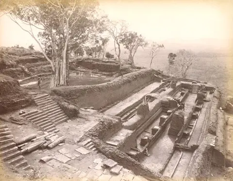
Sigiriya
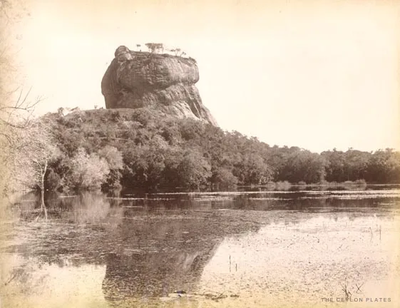
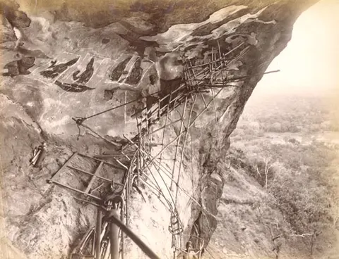
The fifth-century rock fortress rising from the plain, famous for its frescoes and gardens.
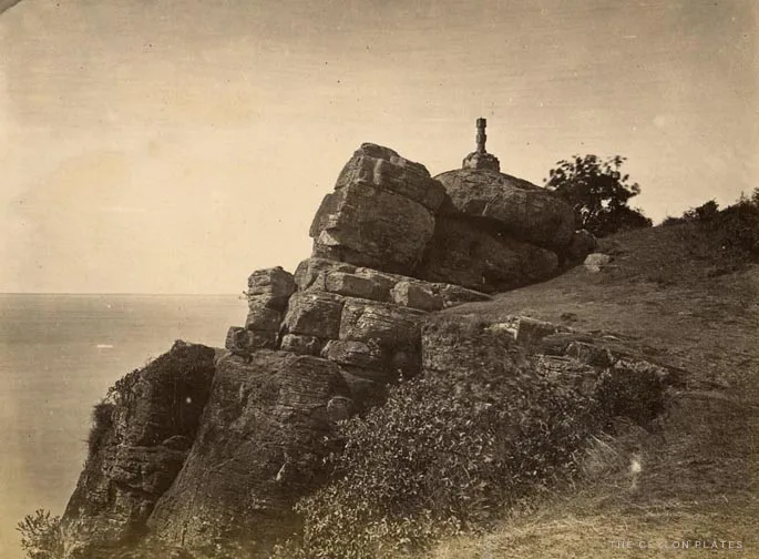
Trincomalee
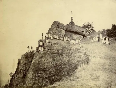
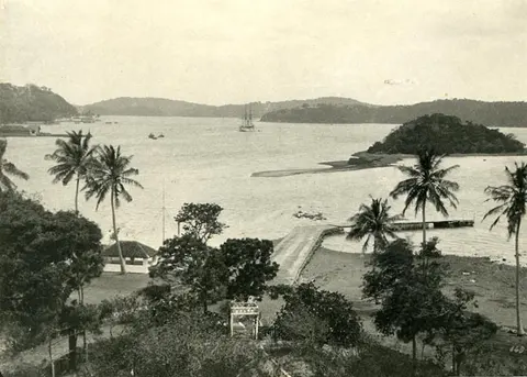
A superb natural harbour on the east coast, with Swami Rock rising above the sea.
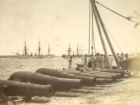
Jaffna
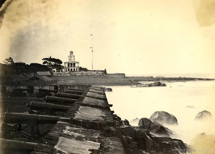
The principal city of the far north, with its Dutch fort.
Galle
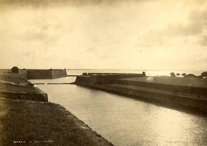
The old southern port, enclosed by its Dutch fort walls.
Stories
Behind the pictures
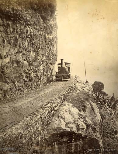
The line to the hills
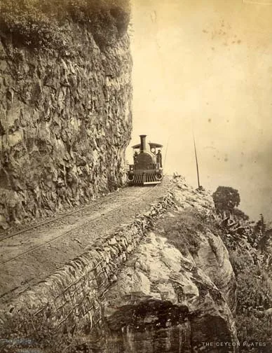
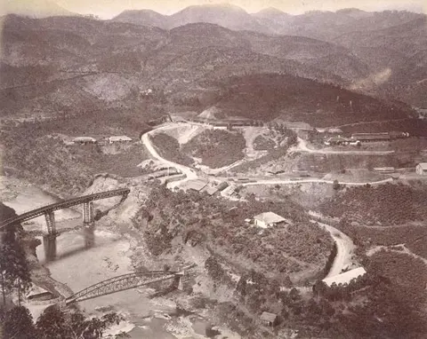
How a railway climbed from the coast to the coffee and tea country, one tunnel at a time.
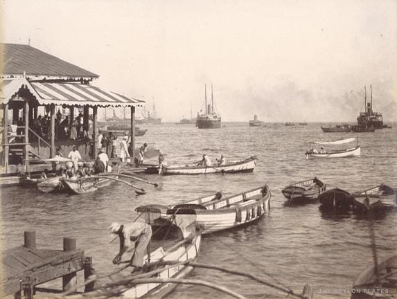
The making of Colombo
In a few decades, an open roadstead and a garrison town became one of the great ports of the East.
From coffee to tea
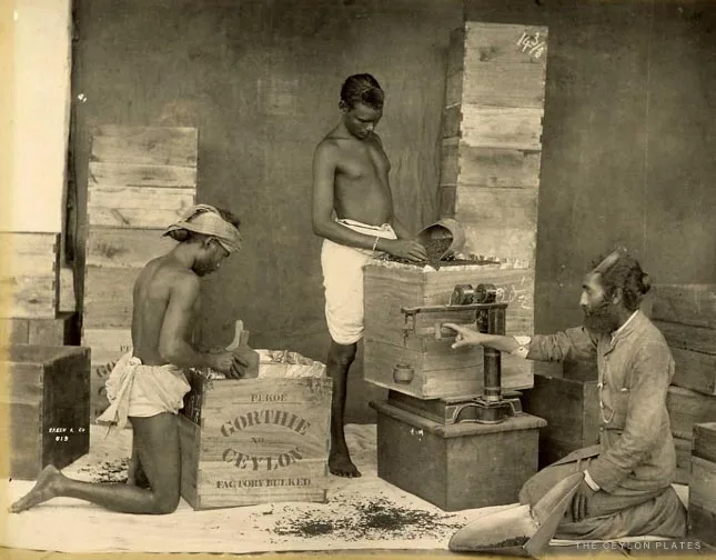
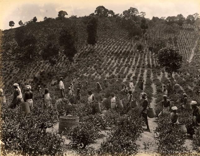
A leaf disease destroyed one plantation economy, and the hills were replanted with another.
Help the archive
Do you know these places?
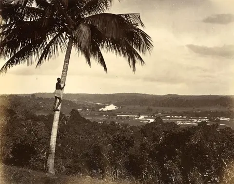
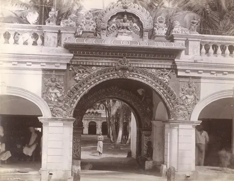
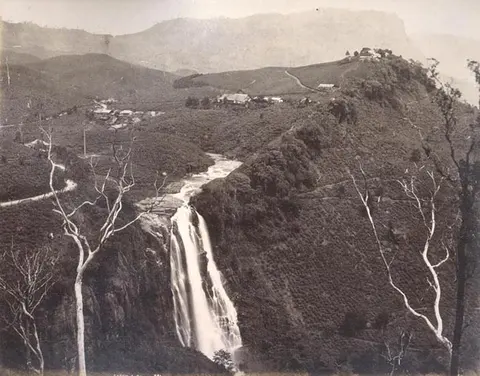
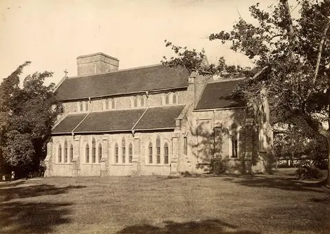
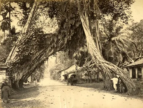
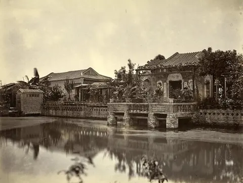
Many of these photographs have lost their captions. A family memory or a sharp eye could give one back its name.
Contribute
Do you have an old family photograph?
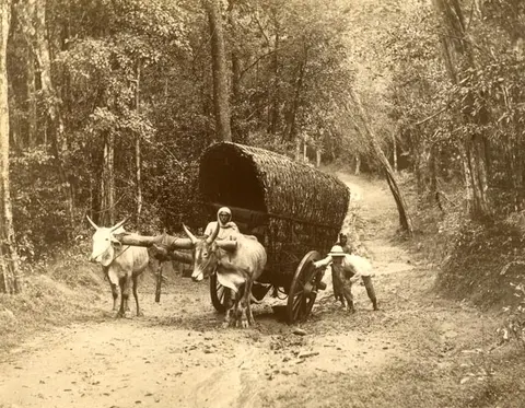
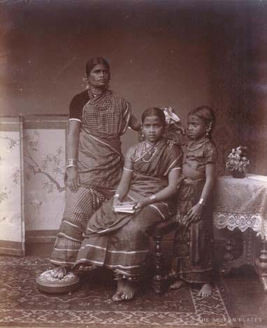
Many of Sri Lanka’s photographs survive only in family albums. Share yours, and we’ll review it and credit you if it joins the archive.
Share a family photo